File:MapOfSouthernBritishColumbia.png
From AlanMacek.com Canyon
No higher resolution available.
MapOfSouthernBritishColumbia.png (702 × 405 pixels, file size: 21 KB, MIME type: image/png)
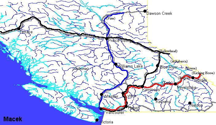
Outline map of Southern British Columbia. See Map of Southern British Columbia for legend and further information
Underlying data © 2003. Government of Canada with permission from Natural Resources Canada and used under license. Copyright in the map itself is owned by Alan Macek.
File history
Click on a date/time to view the file as it appeared at that time.
| Date/Time | Thumbnail | Dimensions | User | Comment | |
|---|---|---|---|---|---|
| current | 23:29, 6 July 2005 | | 702 × 405 (21 KB) | Alan (talk | contribs) |
Links
The following pages link to this file: