Fraser River: Difference between revisions
From AlanMacek.com Canyon
(+map) |
m (+cat) |
||
| Line 2: | Line 2: | ||
{{Wikipedia|Fraser River}} | {{Wikipedia|Fraser River}} | ||
[[Category:Geographic Features]] | |||
Revision as of 22:04, 4 June 2005

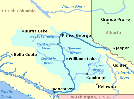
The Fraser River is one of the major rivers in British Columbia. It starts near the Yellowhead Pass in the Rocky Mountains. It then flows north before curving south through Prince George and then south through the interior plateau and the Coast Mountains. It ends in Georgia Strait at Vancouver.
See the Wikipedia article on.